Powerline Classification And Vectorization
The goal of Simak IT Pvt. Ltd. when building its LiDAR classification and Vectorization wing was to inspect transmission lines in order to find and eliminate hidden threats. This becomes an important task for urban or rural power supply management, vectorization, and scientific planning.
Airborne and Mobile LiDAR data make it simple to gather high-precision 3D point data for the mapping of power line corridors. In order to reliably and quickly extract the power line points from the LiDAR point cloud categorization, it can be difficult because power lines can be extremely close to vegetation, buildings, and other infrastructure. Therefore, a crucial area of research and development for us is the development of quick automated methods for data extraction of power lines from airborne lidar point cloud data.
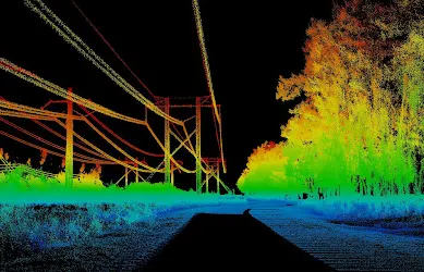
Powerline Classification Methods:
Prior to taking over the Powerline classification, Simak IT Pvt. Ltd.employed traditional techniques:
- Point cloud statistical analysis based on the fluctuating height, density, or pulse count.
- Data grouping and rough transformation based on 2D image processing.
- A metrical framework and the distribution of features among the cloud points serve as the foundation for superficial classification.
Power Line Classification and Vectorization Services Includes.
Power Line Classification and Vectorization Services offered by Simak IT Pvt. Ltd. encompass a range of advanced LiDAR data processing techniques.
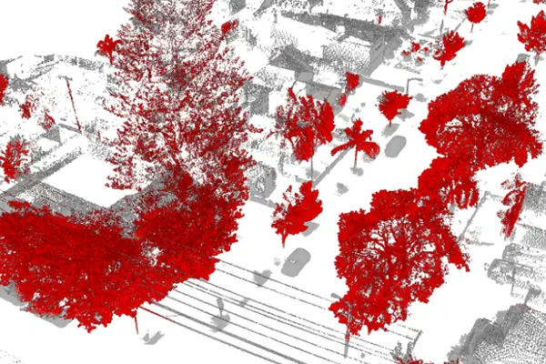
Point Cloud Classification
By putting the transmission corridor's aerial LiDAR point clouds on the horizontal plane. The ground's vegetation, dwellings, and other mixed points are referred to as surface points, and these points are added to surface powerlines and towers.
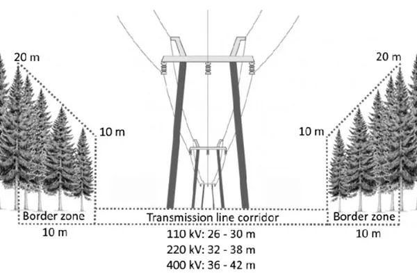
Hazard Point Detection
The core of any power line safety detection and the operating regulations for overhead transmission lines requires line inspection to ensure that the distance from the power line to the necessary distance for safety is met at a corridor with a variety of elements.
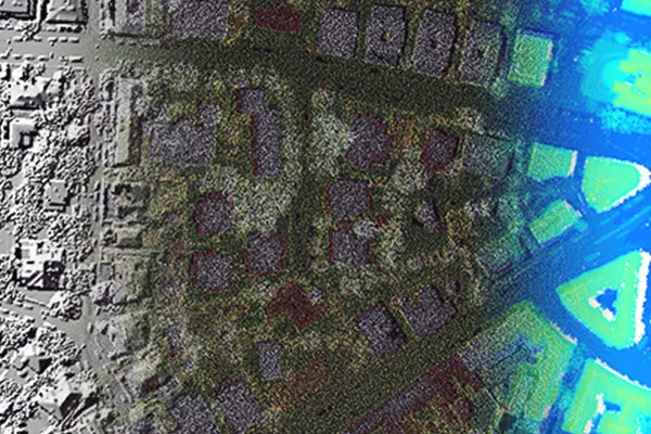
Data Processing and Analysis
After densely sampling the earth's surface with laser light, LiDAR produces data that yields extremely precise x, y, and z measurements. Mass point cloud data points produced by LiDAR can frequently be handled, displayed, analyzed, and shared.
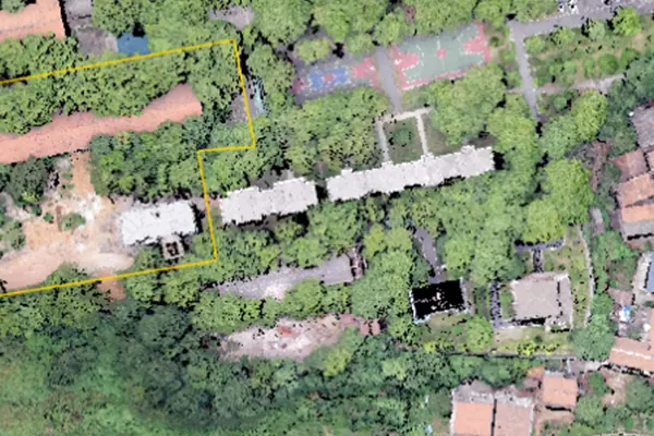
Interactive Classification
The bare land or ground, the very top of the canopy, the surface of the water, and below are only a few of the categories into which LiDAR points are divided. The LAS files include numeric integer codes that define the various classes.
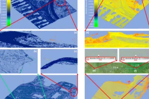
Accuracy Assessment
Standard deviations like 3cm to 1σ (sigma) or calculations of ± 2 cm are typically used to show precision. The LiDAR system assesses the precision of several sensor readings to a single cloud point before comparing it to the actual environment.
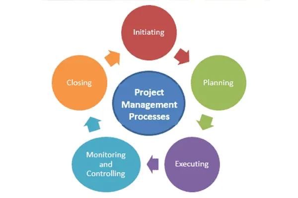
Project Management
The time limit in which the job is delivered is the most crucial component of a project. Teams of committed individuals examine the provided data and background knowledge to ensure that the project is implemented perfectly overall.
The Perfect Methodology of Power Line Classification
With years of expertise and knowledge, we developed the methodology for the powerline categorization based on multi-scale features like:
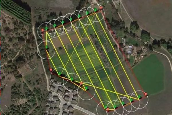
Power line point filtering.
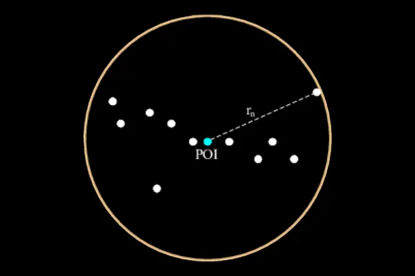
Neighbourhood Selection.
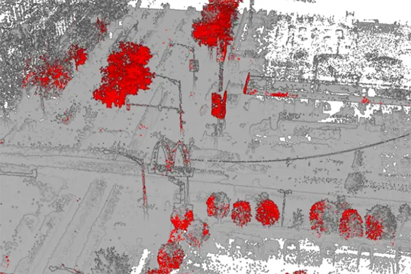
Feature Extraction.
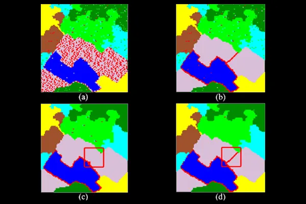
SVM classification.
Powerline Classification And Vectorization Industries
Simak IT Pvt. Ltd. delivers Powerline Classification and Vectorization to create high-level productivity.
- Smart City & Urban Development
- Transport and Navigation
- Irrigation, Water & Disaster Management
- Defence & Security
- Forest Management
- Utilities (Power/Telecom/Water)
- Infrastructure
- Mining
- Oil & GAS Pipelines
- Flood Mapping
- Environment
- Highway & Road Survey
- Land Cover Classification
- Landslide Risk Assessment
Our Powerline Classification Process Includes
Our powerline classification process encompasses a comprehensive and precise approach to accurately identify and categorize powerlines using advanced LiDAR technology.

Initiation
Starting of the early phase of sprint.

Planning
The marking of the ideas on the plane.

Execution
Implementing the ideas into process.

Monitoring
Keep a close check on the working of each sprint.

Closure
Integrating each sprint to provide a finished product for a project.