LiDAR Data Processing Services
Simak IT Pvt. Ltd. being the best LiDAR mapping company provides industry grade LiDAR Data Processing Services for various industries. LIDAR (Light Detection And Ranging), a new technology in the field of topographical data collection with high speed, high density and accurate data. LiDAR data processing services can be conducted by broad daylight or even at night, as long as conditions are clear.
LiDAR mapping services are a well-liked remote sensing technique for determining the precise location of an object on the surface of the earth. We as a LiDAR company enable the on-field data capture of the target. LiDAR data processing services include elevation data as well, therefore it finds use in a variety of sectors.
Simak IT Pvt. Ltd. is well-versed in both airborne and terrestrial/mobile LiDAR are among processing types. We have a lot of satisfaction in the work we produce thanks to our LiDAR mapping services.
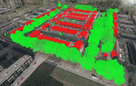
Our LiDAR Data Processing and Mapping Services
Our business provides top-notch LiDAR data processing and mapping services to meet the needs of numerous sectors due to the rising need for precise and high-resolution mapping data.
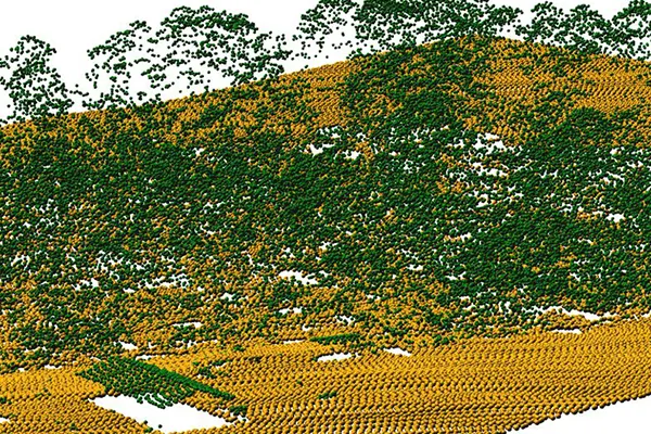
Airborne LiDAR Data Processing
Accurate and low-cost measurements of terrain, sophisticated categorization, vegetation heights, DTM, and DSM, as well as buildings, are made possible by airborne LiDAR technology.
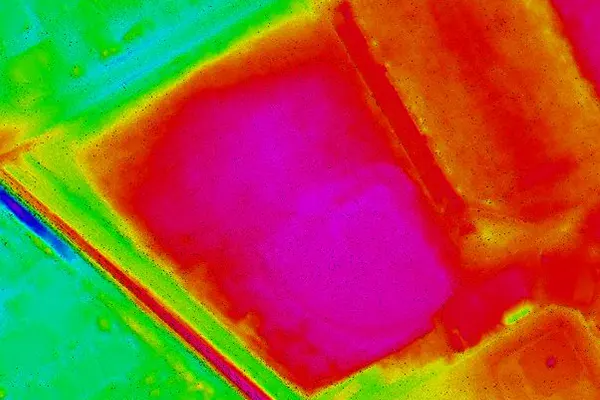
Bare Earth Extraction (DEM/DTM)
When analyzing LiDAR data for the purpose of identifying terrain, bare earth extraction is crucial. In accordance with the needs of the client, we offer extremely accurate data.
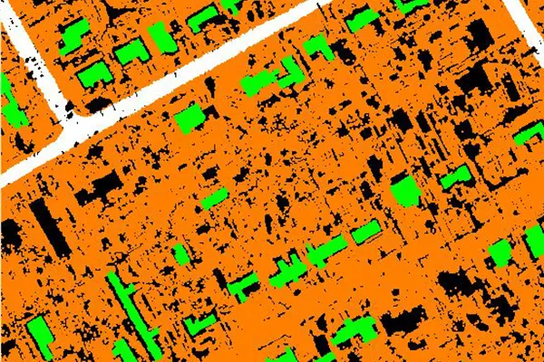
Advance Classification
In order to achieve the maximum overall classification accuracy, we divide the multi-spectral LiDAR intensity data into four classes: structures (including buildings and trees), roads, bridges, and grass.
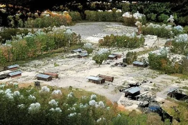
Image Overlay and Point Cloud Colorization
For more interesting results than just simple coloring, image overlay, and point cloud colorization can be utilized. With our image overlay and point cloud colorization techniques, we transform your terrain.

Powerline Classification & Vectorization
Powerline corridor mapping is highly used in the government projects and provides solution for electricity industry both for classification of transmission and distribution of power line vectorization.
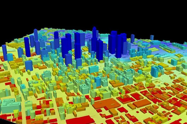
3D City or Building Modeling
Development demands customization. 3D city models are being predominantly used in the industry for visualization. Simak IT Pvt. Ltd. keeps itself updated with latest industry standards and provide 3D city and building modeling.
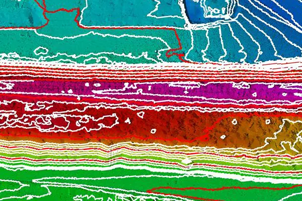
Breakline & Contour Generation
The most precise and trustworthy representation of topography mapping is provided by LiDAR data. Breaklines regulate the smoothness and continuity of surface behavior.
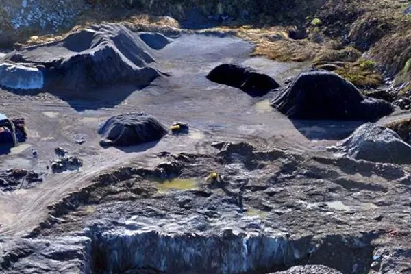
Orthophoto Generation
Simak IT Pvt. Ltd. has successfully completed projects requiring orthophoto production and color balancing thanks to its track record of accomplishment in this area using the new tools and technology with precision and accuracy in all of our deliveries.
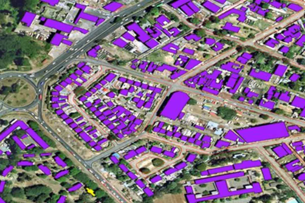
3D-Feature Vectorization
Research in feature extraction has intensified. In 3D vectorization, certain geometries, such as lines, curves, and polygons, are converted from point clouds, raster data, or other formats into vector data types.
Use of LiDAR Application in Various Industries.
Simak IT Pvt. Ltd. provides LiDAR data processing services that enable clients to achieve optimal productivity levels.
- Smart City & Urban Development
- Transport and Navigation
- Irrigation, Water & Disaster Management
- Defence & Security
- Forest Management
- Utilities (Power/Telecom/Water)
- Infrastructure
- Mining
- Oil & GAS Pipelines
- Flood Mapping
- Environment
- Highway & Road Survey
- Land Cover Classification
- Landslide Risk Assessment