Drone (UAV) Data Processing Services
Simak IT being the topnotch provider of Drone Data Processing Services, deep dive the novel insights into the technological era. We grant drone LiDAR data processing through highly-equipped UAVs along with our LiDAR terrain modelling in process. Drone LiDAR data processing and drone LiDAR data mapping encourages us to sail through, procuring reliable and widespread information effortlessly.
Our drone LiDAR data processing solutions include topographical maps such as Digital Terrain Models(DTM), Digital Surface Models, Counter Maps, Orthomosaic Maps, etc. Not just our data processing but drone LiDAR data mapping also enriches industries with sound decision making.
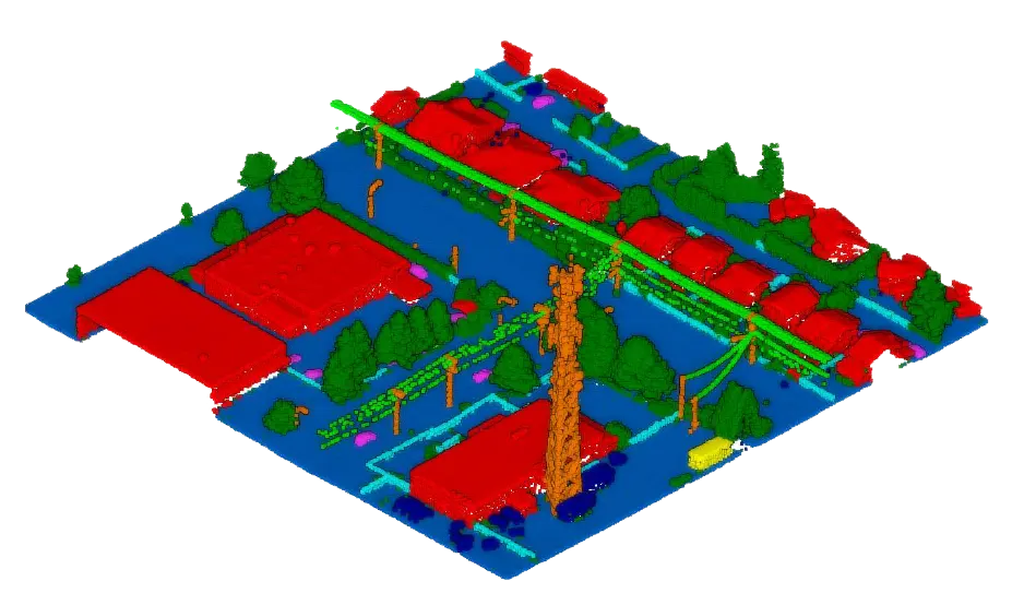
With AI and ML by our side, we achieve up to 99% accuracy in LiDAR terrain modelling, Crop yield estimation, damage detection, etc. Our Drone (UAV) Data Processing Services provide greater versatility for our surveying & mapping needed for an organization.
Benefits of Our Drone LiDAR data Service Includes
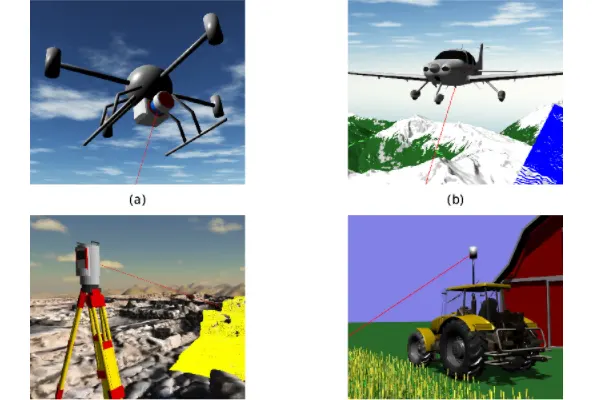
Usable Multipurpose Data
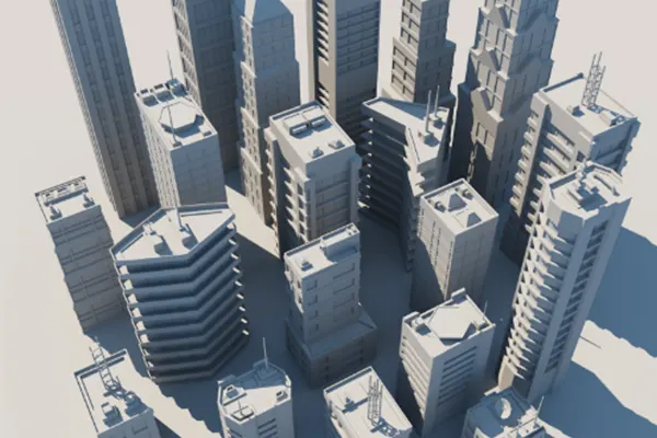
3D Modeling and Designs
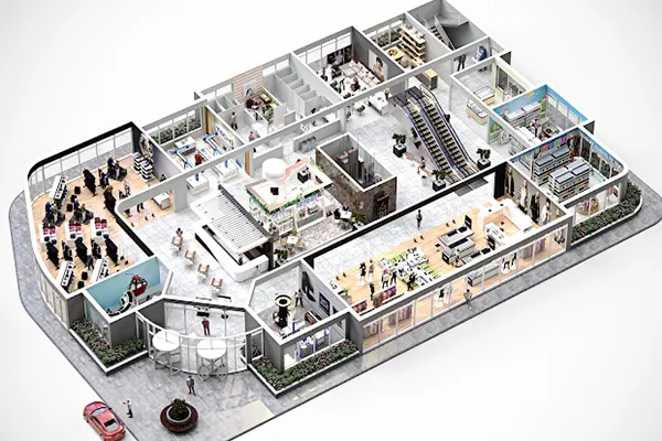
Interior-exterior Project Mapping
Looking for Professional Approach and Quality Services ? Contact Us Today
Drone LiDAR Data Processing Services
Drone LiDAR data will be used for services, like: DEM, DTM, DSM, contours, Ortho mosaic, 3D modeling, and point cloud classification.
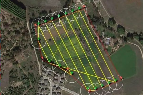
Planning
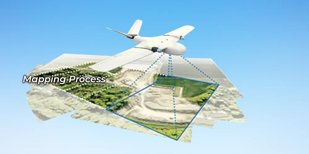
Using the Drone lidar data for surveying, mapping, volumes or earthworks, it can be useful for the number of flight paths, number of photos, and the overlap between the images.
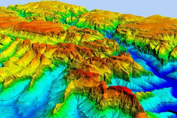
Types of Modeling
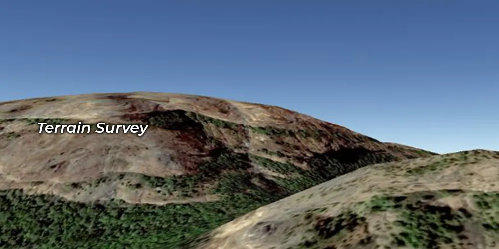
With the modeling part mainly 3 types of modelling is performed, Digital terrain modelling(DTM), Digital Elevation Modelling(DEM), Digital Surface modelling(DSM) and many more features.
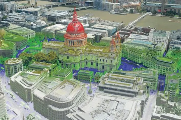
3D Modelling
In 3D modelling, a structure is made with x, y, and z coordinates to give a depth to the image. It enables visualisation of object or terrain by manipulating edges, vertices, and polygons in a simulated 3D space.
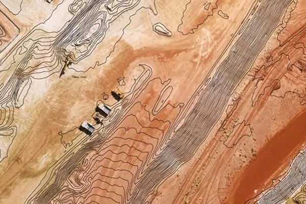
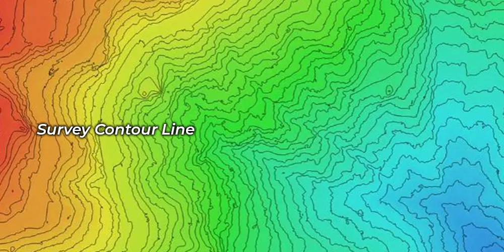
Contour
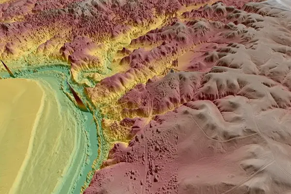
With contour generation, elevation of a terrain is better understandable. A terrain is represented with contour lines of equal elevated places.
Point cloud classification
With point cloud classification, a terrain can be classified with the point cloud data. All the features of a terrain can be classified from the solid earth.
Matching
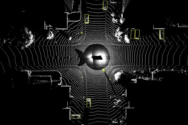
We process the various collected point clouds to get the correct data with our LiDAR data matching service where we match the distorted point clouds.
Drone (UAV) Data Processing Industries
Simak IT offers Drone (UAV) Data Processing services to develop high-level productivity.
- Smart City & Urban Development
- Transport and Navigation
- Irrigation, Water & Disaster Management
- Defence & Security
- Forest Management
- Utilities (Power/Telecom/Water)
- Infrastructure
- Mining
- Oil & GAS Pipelines
- Flood Mapping
- Environment
- Highway & Road Survey
- Land Cover Classification
- Landslide Risk Assessment
Drone data processing services serve as a medium for LiDAR mapping for remote lying areas. Not crowing but Simak IT Technologies is a prominent name as a LiDAR company. We provide tailored and business grade LiDAR services for our clients throughout the globe.
Our Recent Works



FAQs
- Surveying
- Land development
- Construction
- Monitoring earthen dams
- Mining
- Forestry
- Erosion control and coastal monitoring