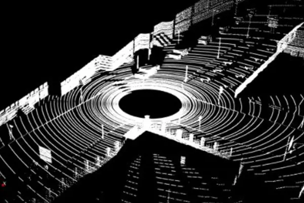
Aerial LiDAR Data Processing Services
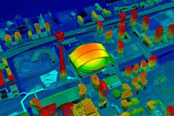
LiDAR data is an accurate and effective method for creating three-dimensional topographical aerial maps and highly accurate aerial surveys. Aerial LiDAR mapping can be really helpful while mapping a large area. To get an aerial LiDAR data, an airborne sensor device is mounted on an aircraft which then collects data in a wider range of terrain. Simak IT Pvt. Ltd. is specialized in the delivery of high resolution LiDAR mapping services across the globe. Our LiDAR mapping services provides you with the most up-to-date and accurate models in the most efficient manner possible.
LiDAR is the go-to tool when you have areas of dense vegetation or above ground obstructions and you need heavy detail of the current conditions.
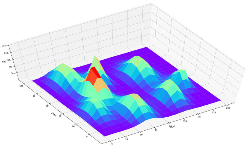
Our Aerial LiDAR Data Services Includes
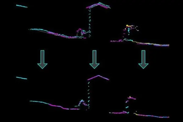
Aerial Flight Line Matching
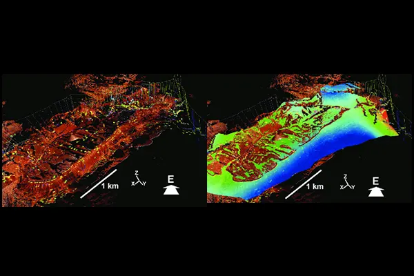
LiDAR Data Attributes
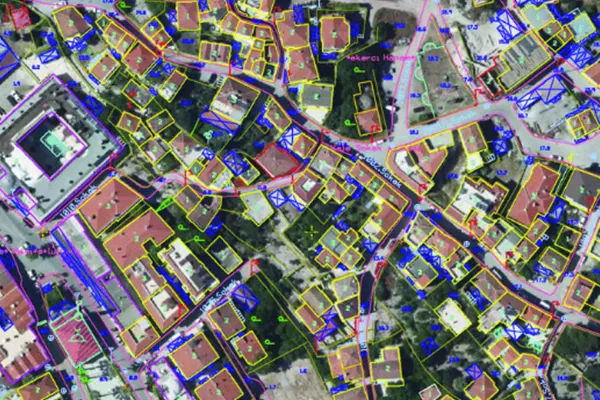
2D/3D Feature Extraction
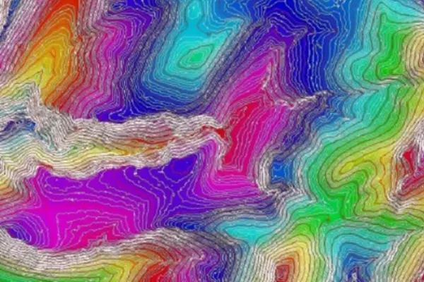
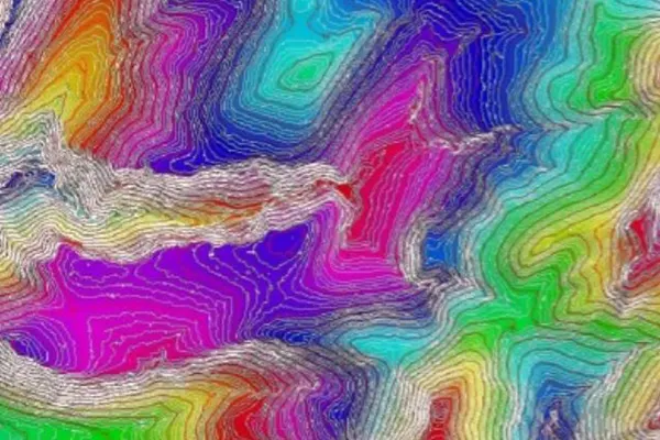
Contour Generation
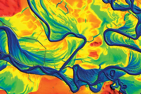
Hydro Analysis and Hydro Flattening processes
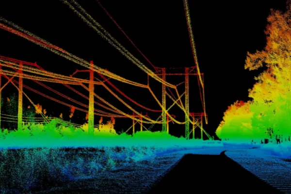
Power Line Classification and Vectorization
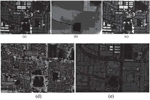
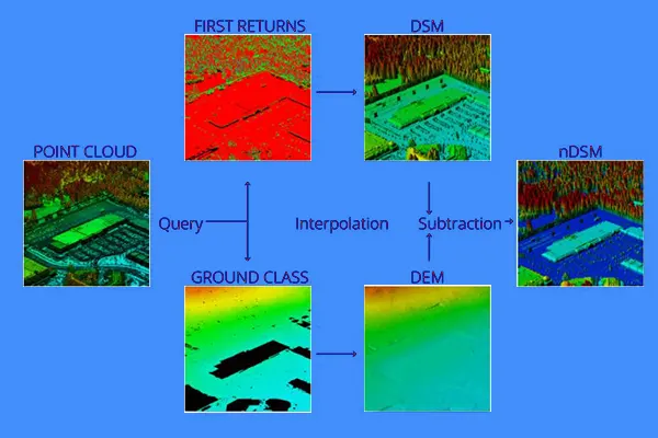
Generation of DTM, DSM and Intensity Images
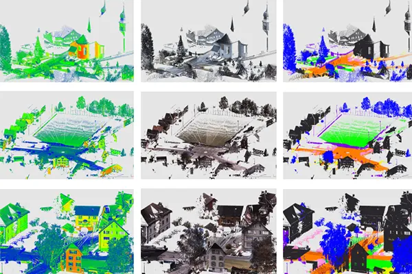
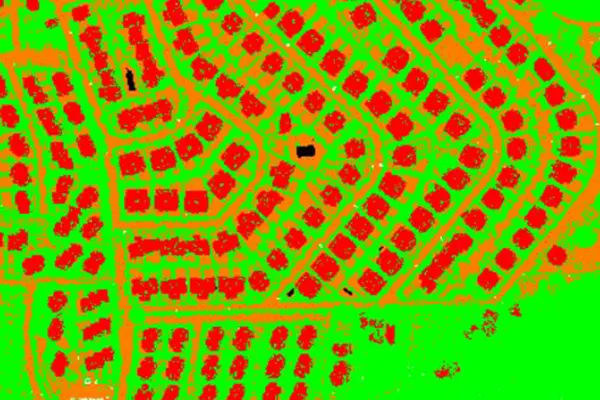
Point Cloud Classification for Features Extraction
Aerial LiDAR Data Processing Industries
Simak IT Pvt. Ltd. offers Aerial LiDAR Data Processing services to develop high-level productivity.
- Smart City & Urban Development
- Transport and Navigation
- Irrigation, Water & Disaster Management
- Defence & Security
- Forest Management
- Utilities (Power/Telecom/Water)
- Infrastructure
- Mining
- Oil & GAS Pipelines
- Flood Mapping
- Environment
- Highway & Road Survey
- Land Cover Classification
- Landslide Risk Assessment
